Skip to content
CAMP & CLIMBAdventure beyond the trail

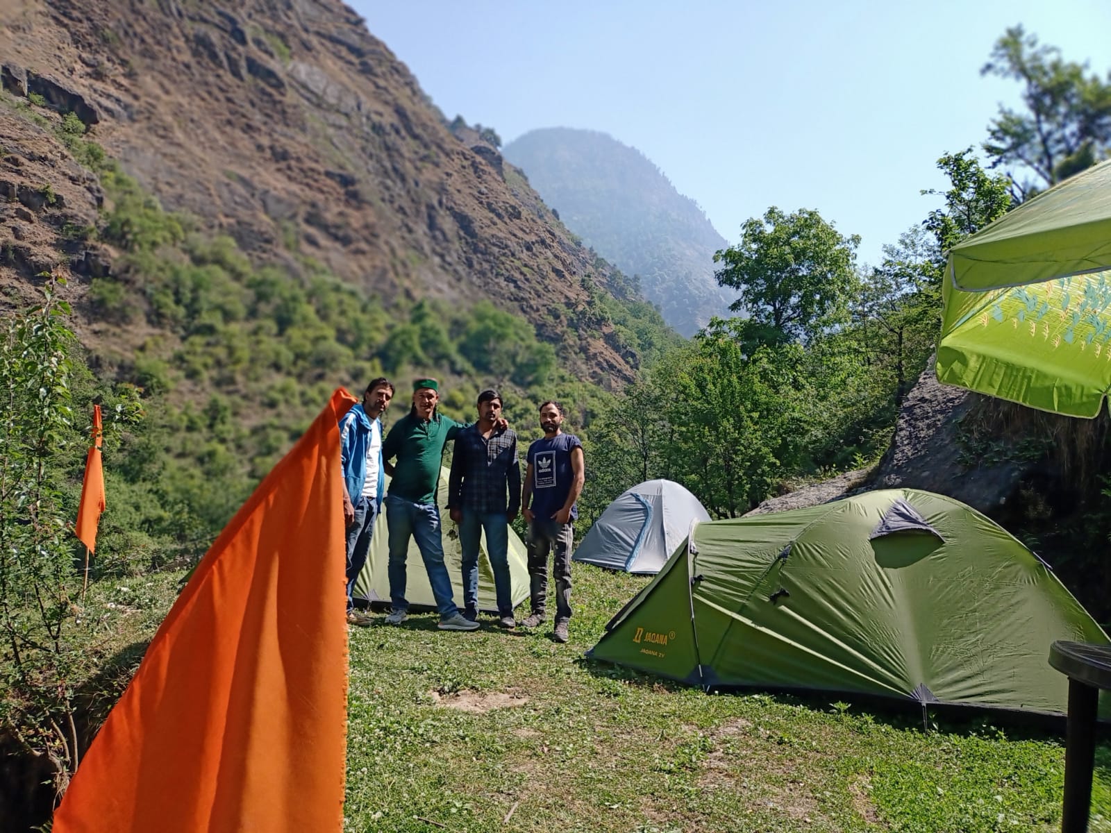
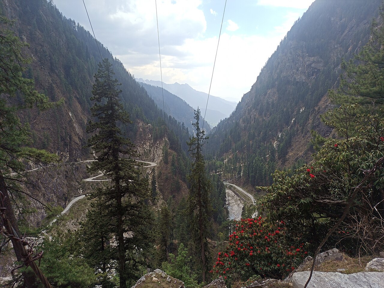
High-altitude expedition · Parvati Valley

Devroopa

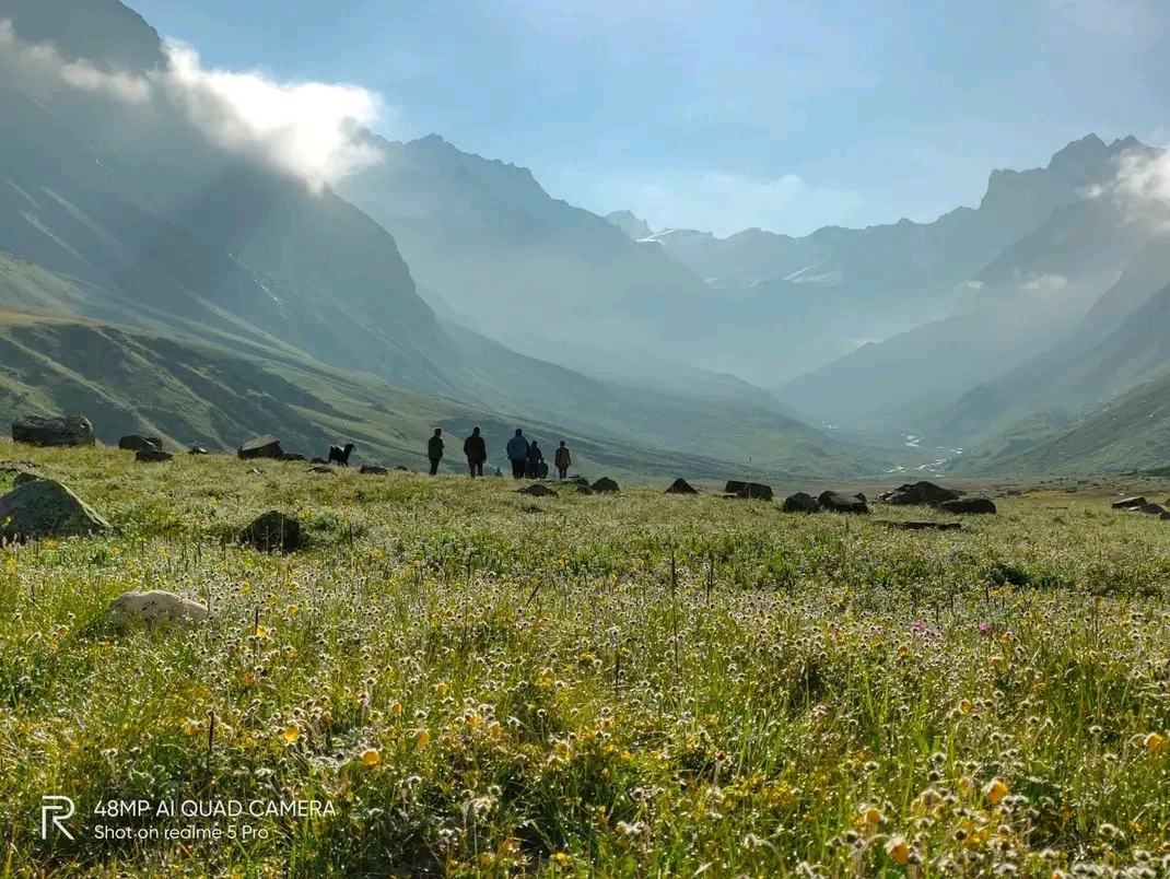
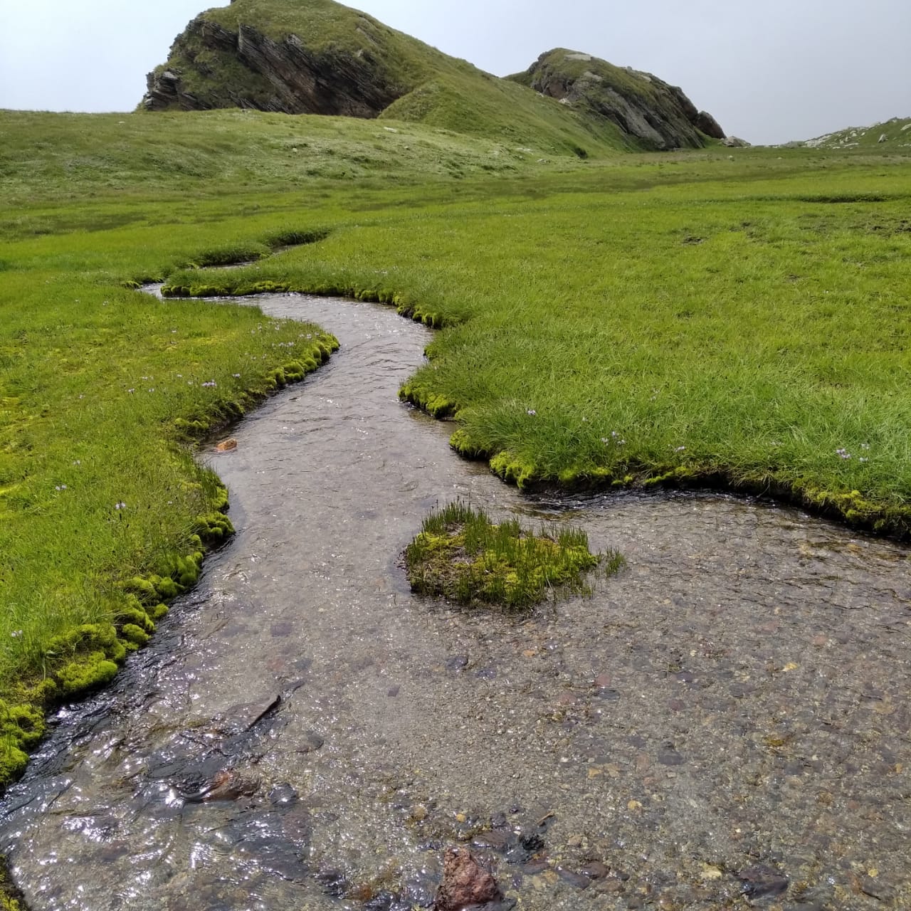
A river-and-meadow route from Waichin to the 4,230 m Devroopa plateau.

Seasonal

Route operation depends on current weather, road access, local regulations, relevant permissions, medical suitability, and operator assessment.

Overview

What this journey asks of you

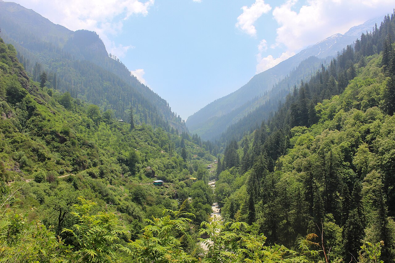
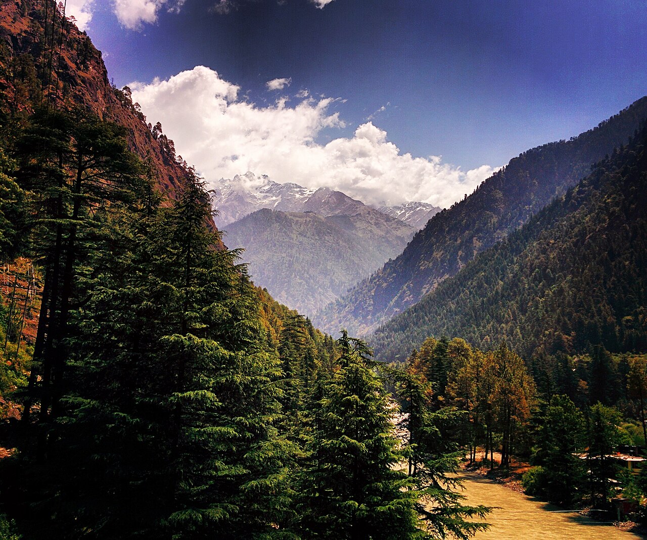
This route starts at Waichin and follows the Parvati tributary through Mota Grahan and Bhagdi before reaching Devroopa’s high meadows. The 25 km figure covers the trekking stages; road transfers are separate.

Package pricing is customised. It depends on destination, season, group size, pickup, accommodation, and trip requirements.

Get a custom quote →
Duration
6 days / 5 nights
Difficulty
Easy to Moderate
Maximum altitude
4,230 m / 13,878 ft
Distance
About 25 km
Best season
May–July and early September
Group size
Custom group arrangement
Starting point
Waichin Village
Ending point
Waichin / Malana Dam roadhead

Your route explained

Know what the journey will feel like

Follow the numbered map, see how each trail section changes, and get a simple day-by-day sense of walking effort and overnight altitude.

Route map

Your journey, from start to finish

Open detailed map
Stop 1: Waichin, 2,800 m1Stop 2: Mota Grahan, 3,200 m2Stop 3: Bhagdi, 3,800 m3Stop 4: Devroopa, 4,230 m4Stop 5: Gullas, 4,050 m5
1 · StartHighest point

© OpenStreetMap contributors

This map helps you understand the direction and sequence of the journey. The orange connector is a visual guide, not a downloadable trail track; always follow the authorised route and local guide.
The trail in plain English

How the journey changes along the way

Read this like a route story: where you walk next, whether the trail climbs or descends, and where you can expect to stop.

Stage 1Steady climb
1
2

Waichin to Mota Grahan

Around 5 km. You rise from 2,800 m to 3,200 m.

Settle in here for the night

Stage 2Steady climb
2
3

Mota Grahan to Bhagdi

Around 6 km. You rise from 3,200 m to 3,800 m.

Settle in here for the night

Stage 3Steady climb
3
4

Bhagdi to Devroopa

Around 5 km. You rise from 3,800 m to 4,230 m.

Stage 4Steady descent
4
5

Devroopa to Gullas

Around 2 km. You descend from 4,230 m to 4,050 m.

Settle in here for the night

Day-by-day rhythm

What each day is likely to feel like

A quick, human-friendly view before you open the full itinerary below.

D1

Arrival or rest day

Arrive in Waichin

No main trekSleep near 2,800 m
D2

Easy-going day

Waichin acclimatisation

Around 2 kmSleep near 2,800 m
D3

Shorter trail day

Waichin to Mota Grahan

Around 5 kmSleep near 3,200 m
D4

Shorter trail day

Mota Grahan to Bhagdi

Around 6 kmSleep near 3,800 m
D5

Longest walking day

Bhagdi to Devroopa and Gullas

Around 7 kmSleep near 4,050 m
D6

Longest walking day

Descent to Waichin

Around 7 kmFinish near 2,800 m

Sleep plan

Where you settle in for the night

A simple look at the overnight stops and how high each one sits.

Camp / stay

Waichin

2,800 m

Roughly 0 km from the start

Camp / stay

Mota Grahan

3,200 m

Roughly 5 km from the start

Camp / stay

Bhagdi

3,800 m

Roughly 11 km from the start

Camp / stay

Gullas

4,050 m

Roughly 18 km from the start

Distances, altitudes, and waypoint positions are planning references drawn from the cited route material. They are not a substitute for current local instructions, permits, weather assessment, or navigation by a qualified guide.

Camp & Climb itinerary

Day by day

This outline is based on the route material and operator package. The final sequence is confirmed for each departure.

01Arrive in Waichin
0 km2,800 m → 2,800 mOvernight

Road transfer via the Malana Dam approach and overnight in Waichin.

02Waichin acclimatisation
2 km2,800 m → 2,800 mOvernight

A gentle local altitude walk around 2,800 m before the main trek.

03Waichin to Mota Grahan
5 km2,800 m → 3,200 mOvernight

Trek 5 km in about five hours to the 3,200 m camp, including three seasonal river crossings.

04Mota Grahan to Bhagdi
6 km3,200 m → 3,800 mOvernight

Climb 6 km in about six hours to the 3,800 m meadow camp.

05Bhagdi to Devroopa and Gullas
7 km3,800 m → 4,050 mOvernight

Cover 7 km to the 4,230 m Devroopa plateau, then camp at Gullas.

06Descent to Waichin
7 km4,050 m → 2,800 m

Descend about 7 km toward Waichin and the Malana Dam roadhead.

What is included

  • Route planning tailored to the agreed itinerary
  • Camping arrangements where listed
  • Meals during the trek where agreed
  • Local guide support
  • Transport included in the confirmed package

What is not included

  • Personal equipment and clothing
  • Travel insurance or medical expenses
  • Unlisted meals, stays, and personal purchases
  • Costs caused by changes outside the agreed itinerary

The confirmed quote and itinerary take precedence. Ask what is included before paying an advance.

Fitness, health, and mountain conditions matter

High-altitude trekking can involve significant physical and environmental demands. Consult a qualified medical professional if you have relevant medical conditions and disclose them to the operator.

Read safety guidance

Before you ask

Common questions

Is the route always open?

No. Access depends on weather, road conditions, local regulations, permissions, and operator assessment. Check current status before making travel arrangements.

How is the price calculated?

Pricing depends on the destination, season, group size, pickup point, accommodation, and package requirements. Camp & Climb shares a custom quote after discussing your trip.

Can the itinerary change?

Yes. Mountain conditions can require changes. The final itinerary is discussed before confirmation and may be adapted for safety, access, or local requirements.

Start a real conversation

Ask about Devroopa

Share your dates, group size, pickup point, and any special requirements. Sanju will confirm current status and shape the quote with you.