Route map
Your journey, from start to finish
This map helps you understand the direction and sequence of the journey. The orange connector is a visual guide, not a downloadable trail track; always follow the authorised route and local guide.
High-altitude expedition · Parvati Valley
A long Parvati River journey from Barshaini to its high glacial source at Mantalai.
Route operation depends on current weather, road access, local regulations, relevant permissions, medical suitability, and operator assessment.
Overview
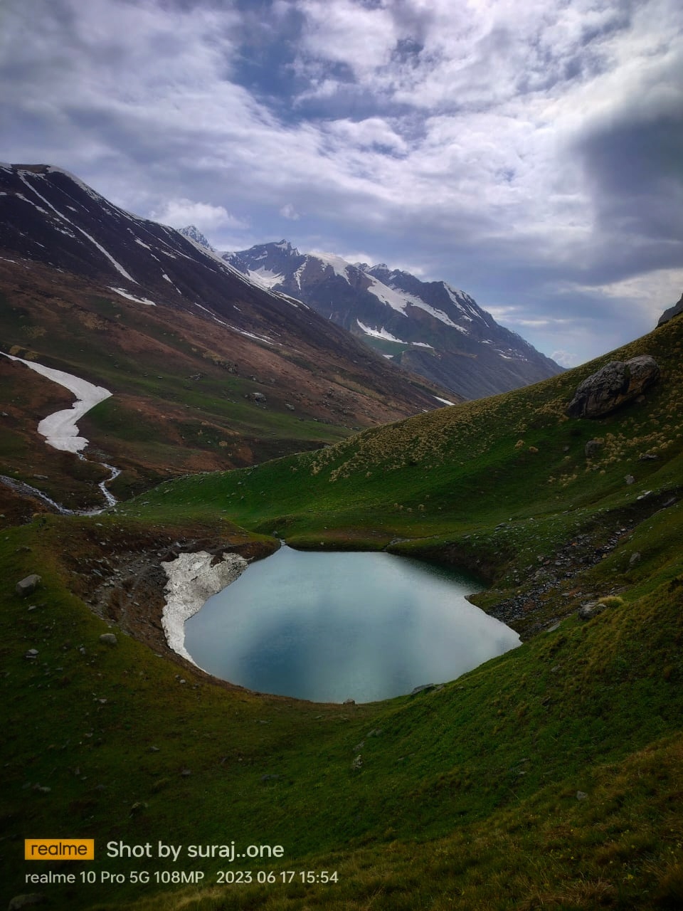
This out-and-back route follows the Parvati River from Barshaini through Kheerganga, Tunda Bhuj, Thakur Kuan, and Odi Thach to Mantalai Lake. Published route guidance places the lake at 13,580 ft and about 46 km from Barshaini.
Package pricing is customised. It depends on destination, season, group size, pickup, accommodation, and trip requirements.
Get a custom quote →Your route explained
Follow the numbered map, see how each trail section changes, and get a simple day-by-day sense of walking effort and overnight altitude.
Route map
This map helps you understand the direction and sequence of the journey. The orange connector is a visual guide, not a downloadable trail track; always follow the authorised route and local guide.
The trail in plain English
Read this like a route story: where you walk next, whether the trail climbs or descends, and where you can expect to stop.
Around 12 km. You rise from 2,210 m to 2,960 m.
Settle in here for the night
Around 15 km. You rise from 2,960 m to 3,285 m.
Settle in here for the night
Around 8 km. You rise from 3,285 m to 3,560 m.
Settle in here for the night
Around 6 km. You rise from 3,560 m to 3,810 m.
Settle in here for the night
Around 5 km. You rise from 3,810 m to 4,139 m.
Settle in here for the night
Day-by-day rhythm
A quick, human-friendly view before you open the full itinerary below.
Full trekking day
Full trekking day
Steady trekking day
Shorter trail day
Shorter trail day
Shorter trail day
Shorter trail day
Longest walking day
Full trekking day
Sleep plan
A simple look at the overnight stops and how high each one sits.
Kheerganga
2,960 m
Roughly 12 km from the start
Tunda Bhuj
3,285 m
Roughly 27 km from the start
Thakur Kuan
3,560 m
Roughly 35 km from the start
Odi Thach
3,810 m
Roughly 41 km from the start
Mantalai Lake
4,139 m
Roughly 46 km from the start
Distances, altitudes, and waypoint positions are planning references drawn from the cited route material. They are not a substitute for current local instructions, permits, weather assessment, or navigation by a qualified guide.
Route references
Facts checked 8 September 2026
Camp & Climb itinerary
This outline is based on the route material and operator package. The final sequence is confirmed for each departure.
Follow the established valley trail to the Kheerganga meadow.
Continue about 15 km along the left bank of the Parvati through forest and gorge terrain.
Move deeper into the upper valley across rougher river terrain.
Cross the high meadow approach toward Mantalai.
Reach the 4,139 m lake basin and camp only if conditions and local rules allow.
Begin the return down the Parvati valley.
Retrace the upper-valley trail.
A long descent through Tunda Bhuj to Kheerganga.
Complete the final valley descent to the roadhead.
The confirmed quote and itinerary take precedence. Ask what is included before paying an advance.
High-altitude trekking can involve significant physical and environmental demands. Consult a qualified medical professional if you have relevant medical conditions and disclose them to the operator.
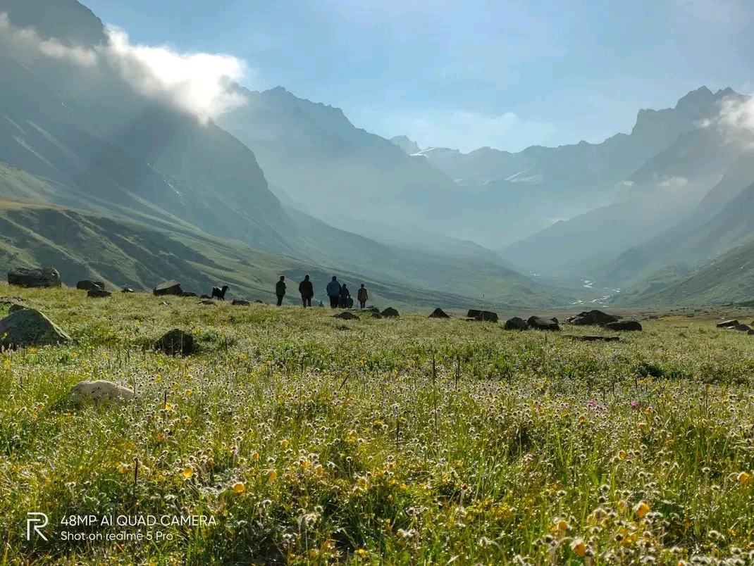
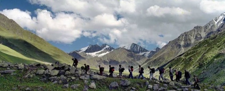
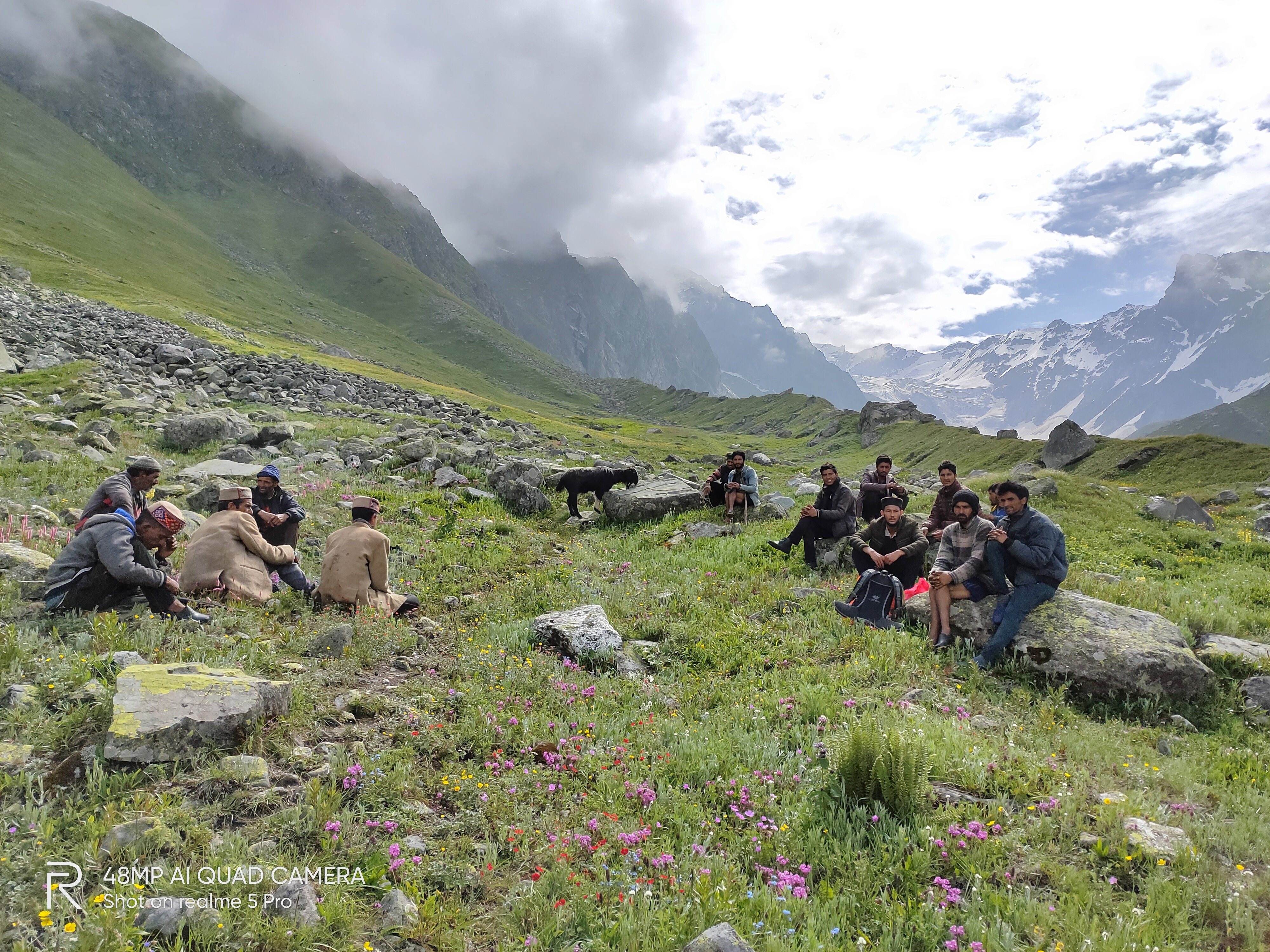
What you may see
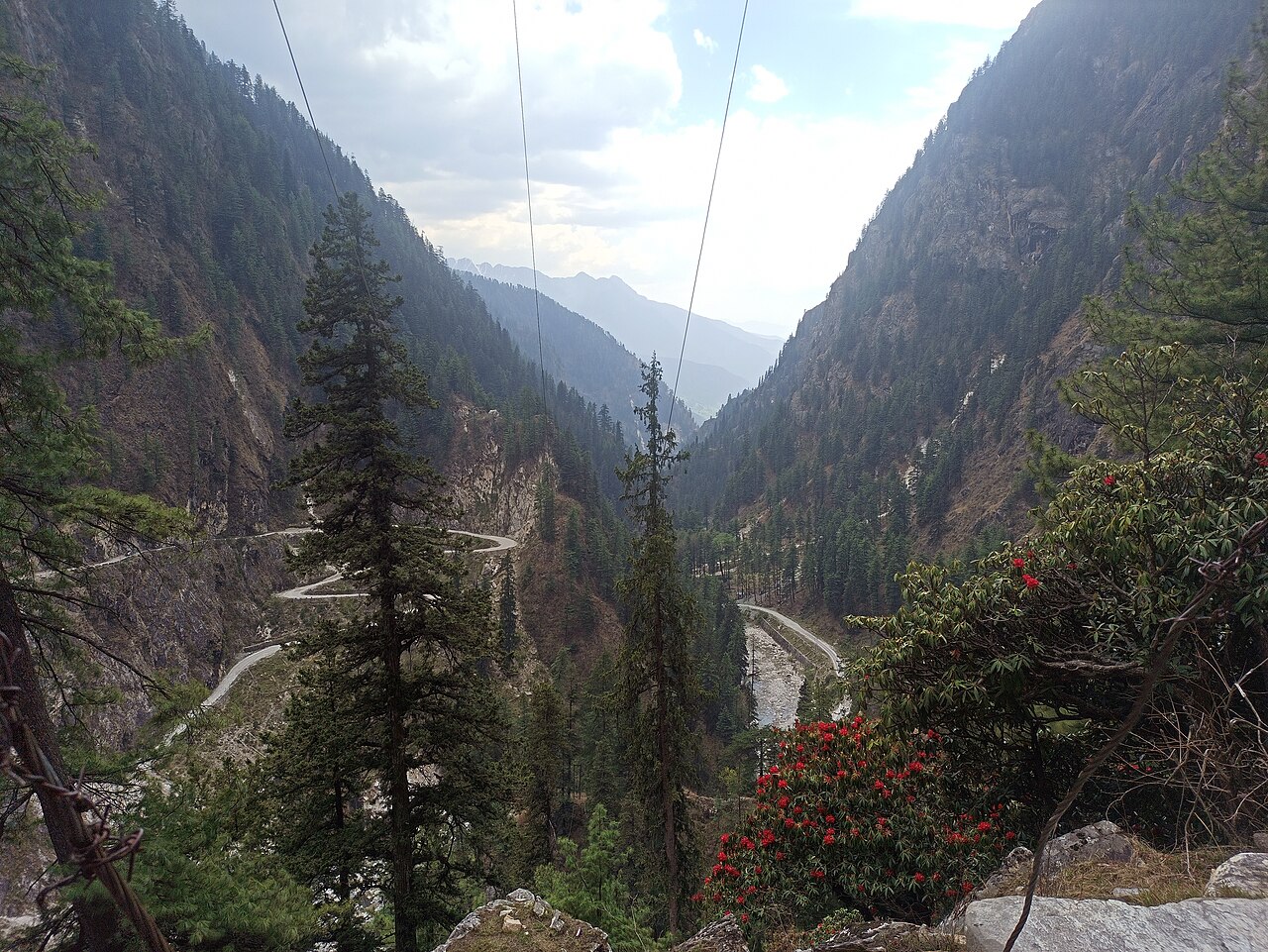
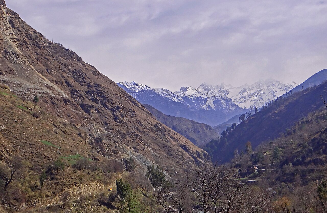
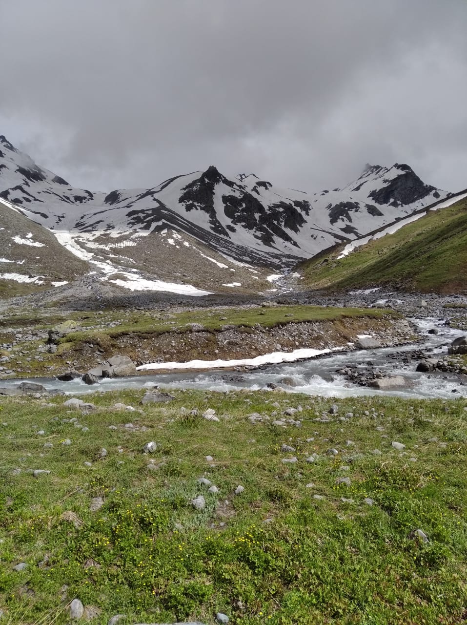
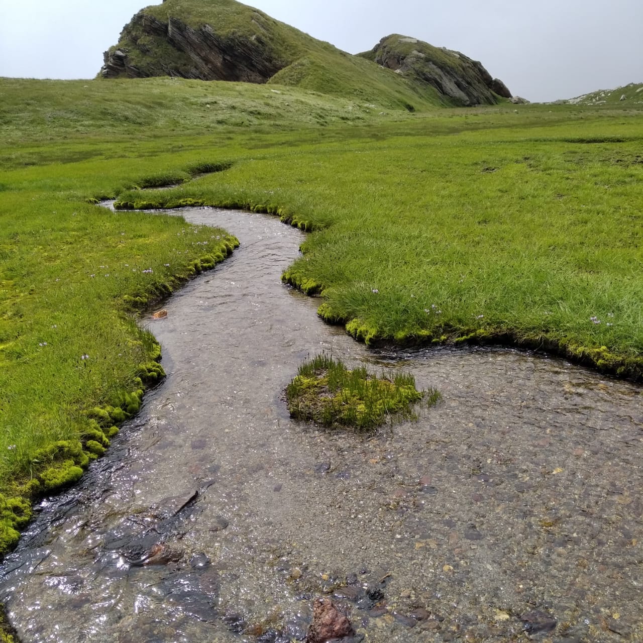
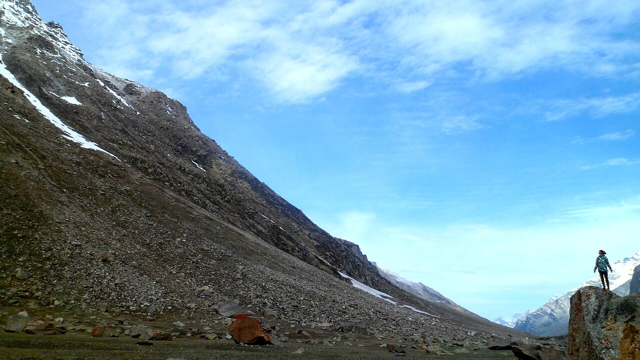
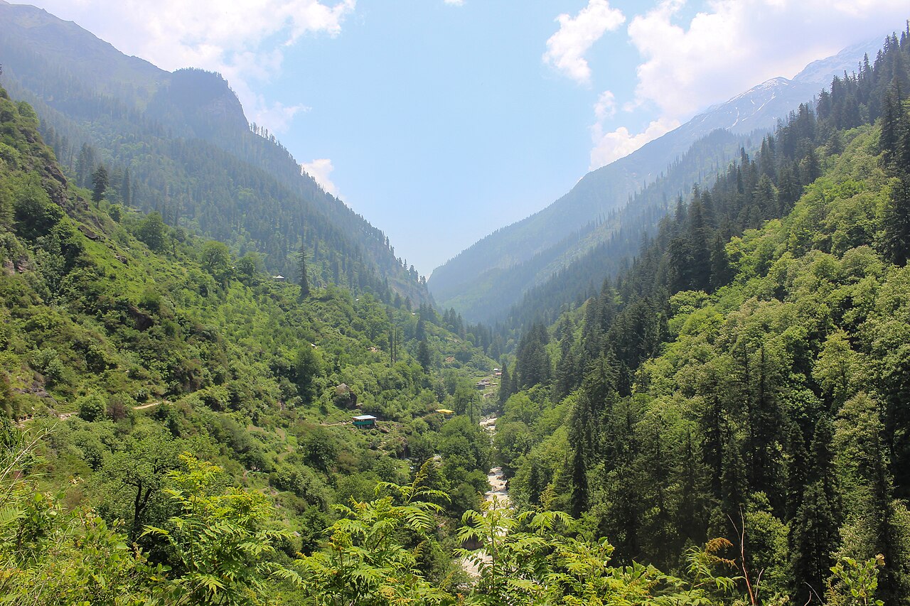
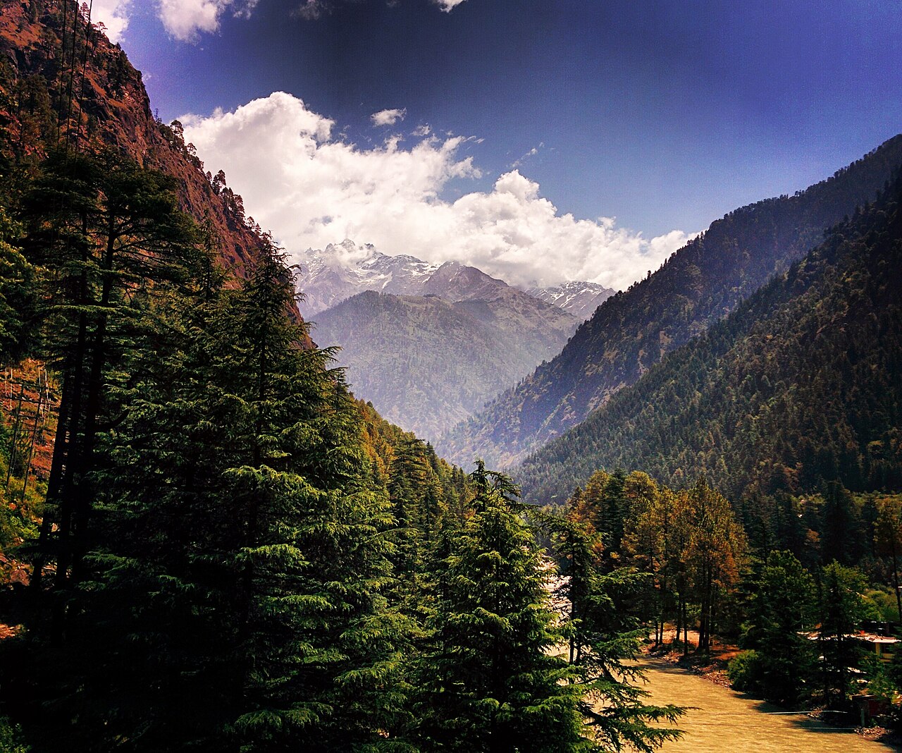
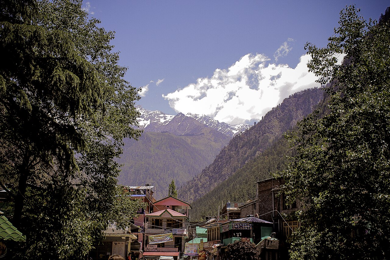
A curated mix of signature landmarks, trail scenery, camp life, and the wider landscape that gives this route its character.
01
02
03
04
05
06
07
08
09
10
11
12Representative regional scenes are labelled as such. Wildlife, weather, flowers, and snow conditions vary by season and are never guaranteed.
Before you ask
No. Access depends on weather, road conditions, local regulations, permissions, and operator assessment. Check current status before making travel arrangements.
Pricing depends on the destination, season, group size, pickup point, accommodation, and package requirements. Camp & Climb shares a custom quote after discussing your trip.
Yes. Mountain conditions can require changes. The final itinerary is discussed before confirmation and may be adapted for safety, access, or local requirements.
Start a real conversation
Share your dates, group size, pickup point, and any special requirements. Sanju will confirm current status and shape the quote with you.